Expert land surveying and mapping solutions for pipelines, topography, boundaries and roads β across all of India. Trusted by HPCL, IOCL & BPCL for 28+ years.
Years
Projects
% Accuracy
Clients
Years of
Trust
Established in 1996, Sarate Surveyor has evolved into one of India's most trusted and technologically advanced land surveying agencies. Headquartered in Pune, Maharashtra, we have spent nearly three decades mastering the art and science of geospatial data collection, topographical mapping, and complex infrastructure alignment. Our core philosophy revolves around absolute precision, uncompromising integrity, and utilizing the latest advancements in surveying technology.
Over the years, our operations have scaled across the entire Indian subcontinent. We take immense pride in being the backbone of critical national infrastructure projectsβpartnering with prestigious Public Sector Undertakings (PSUs) like HPCL, IOCL, and BPCL, as well as municipal corporations and leading private developers. From fixing complex legal property boundaries to routing cross-country high-pressure gas pipelines, our team of licensed surveyors delivers court-admissible, centimeter-level accurate deliverables.
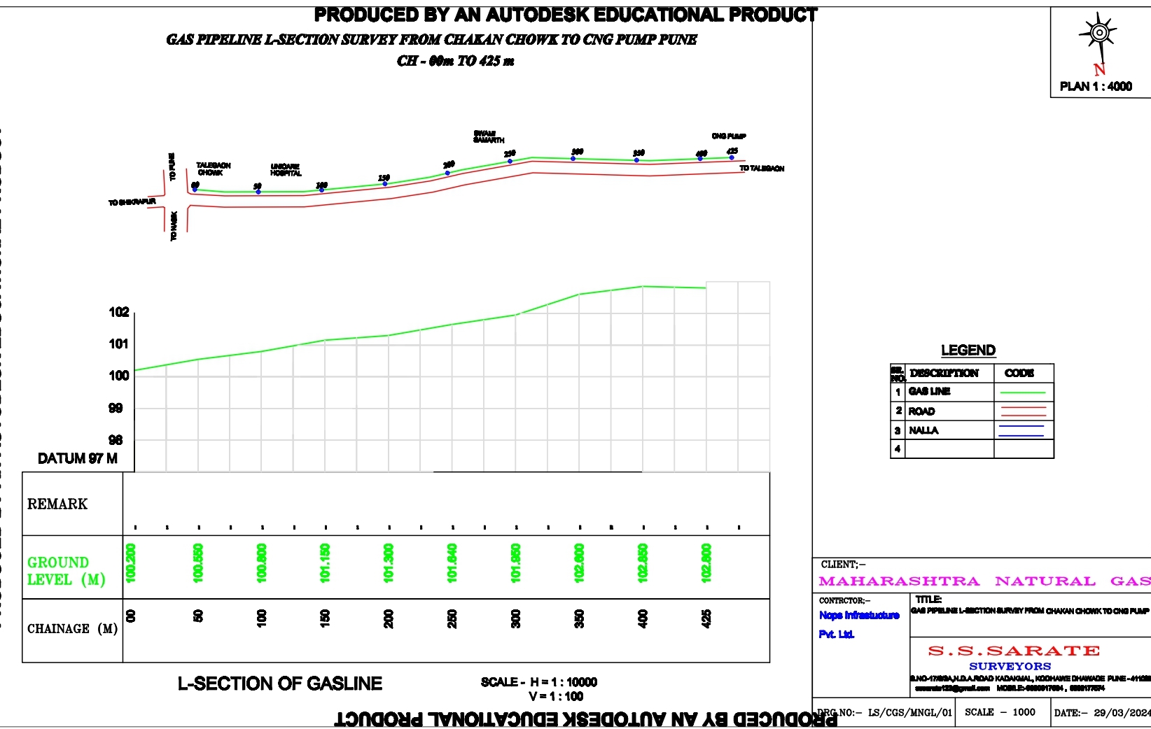
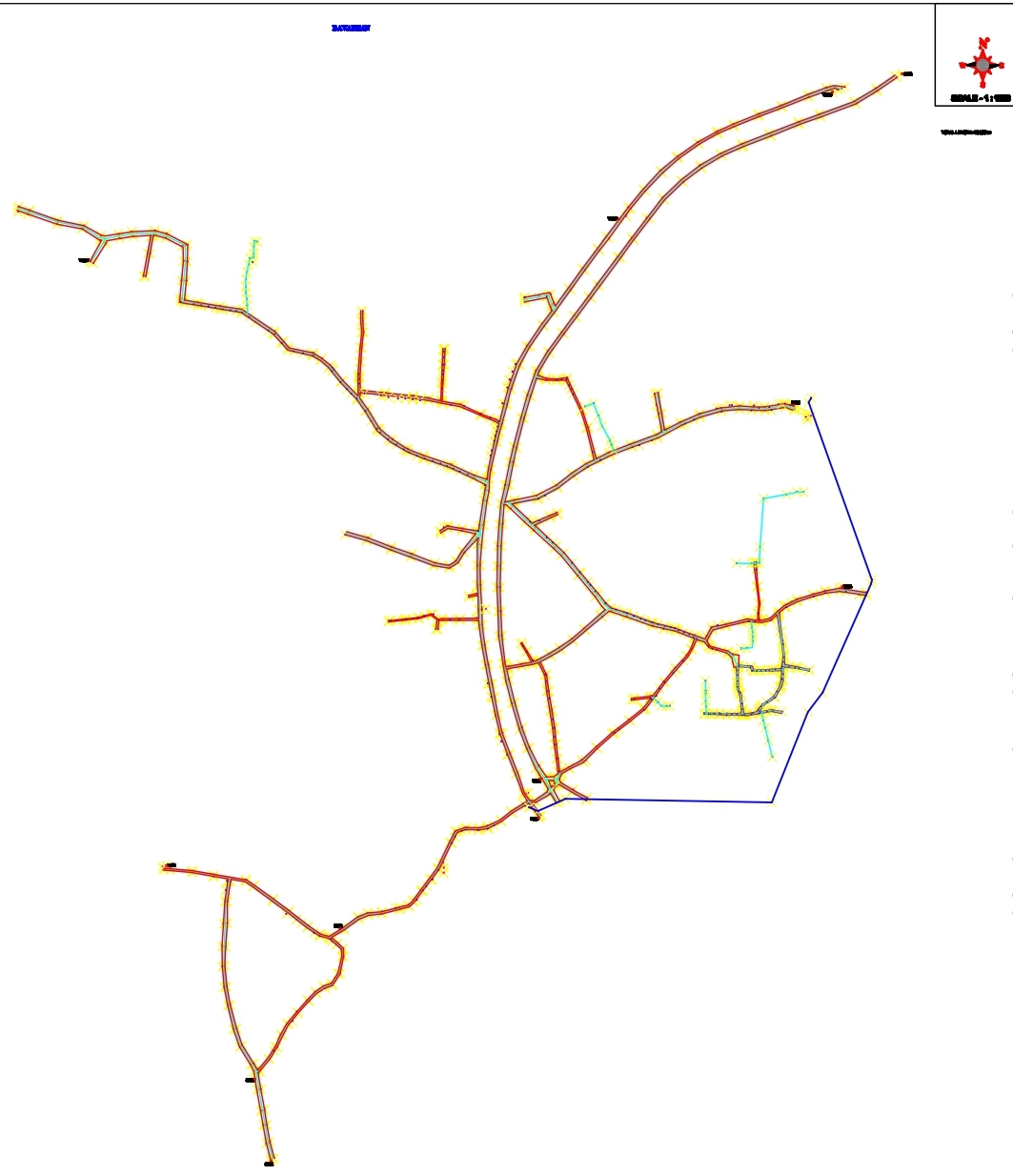
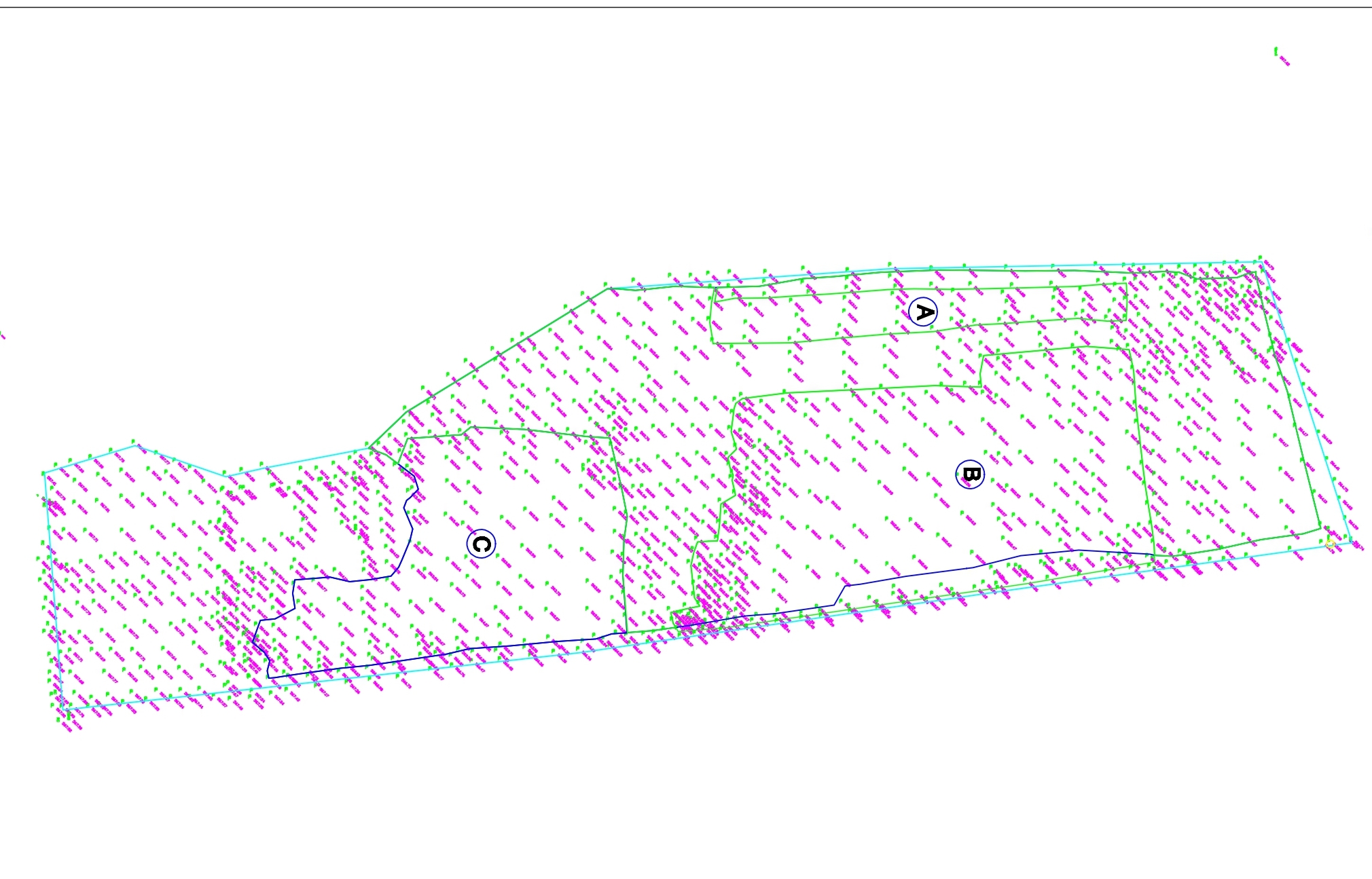
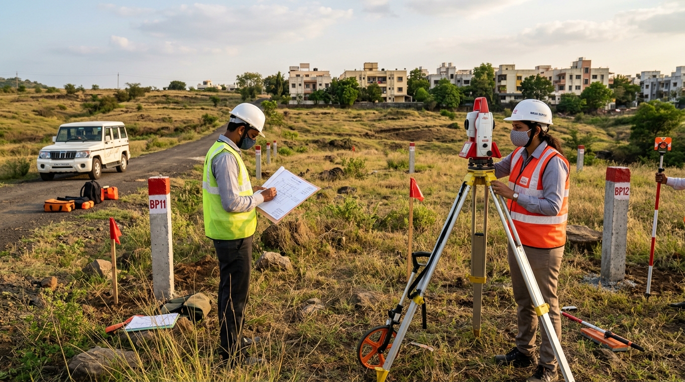
We conduct exhaustive end-to-end route planning and alignment mapping for high-pressure cross-country oil and gas pipelines. Adhering strictly to HPCL, IOCL, and BPCL regulatory standards, our surveys include detailed L-Section (Longitudinal) and Cross-Section profiling, clash detection with existing underground utilities, and accurate ROU (Right of Use) corridor demarcation to ensure seamless pipeline laying operations.
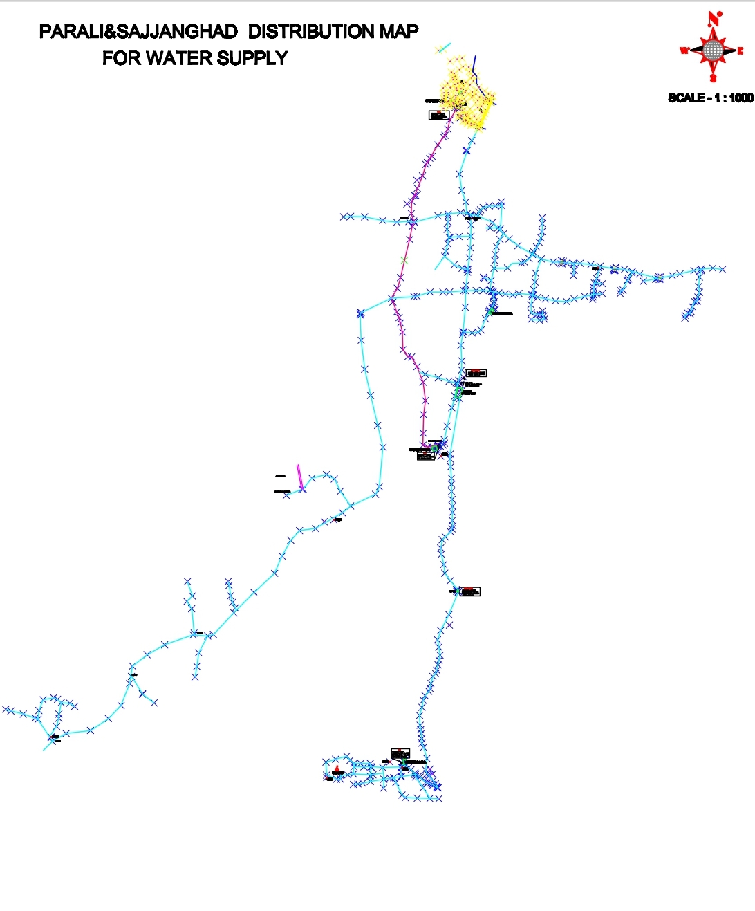
Learn More →Our water infrastructure surveys encompass precise alignment, hydraulic gradient tracking, and elevation mapping critical for municipal water supply networks, large-scale irrigation canals, and long-distance gravity-fed transmission pipelines. We provide meticulously detailed CAD drawings that help engineering teams optimize flow dynamics, design pumping stations, and minimize excavation costs.
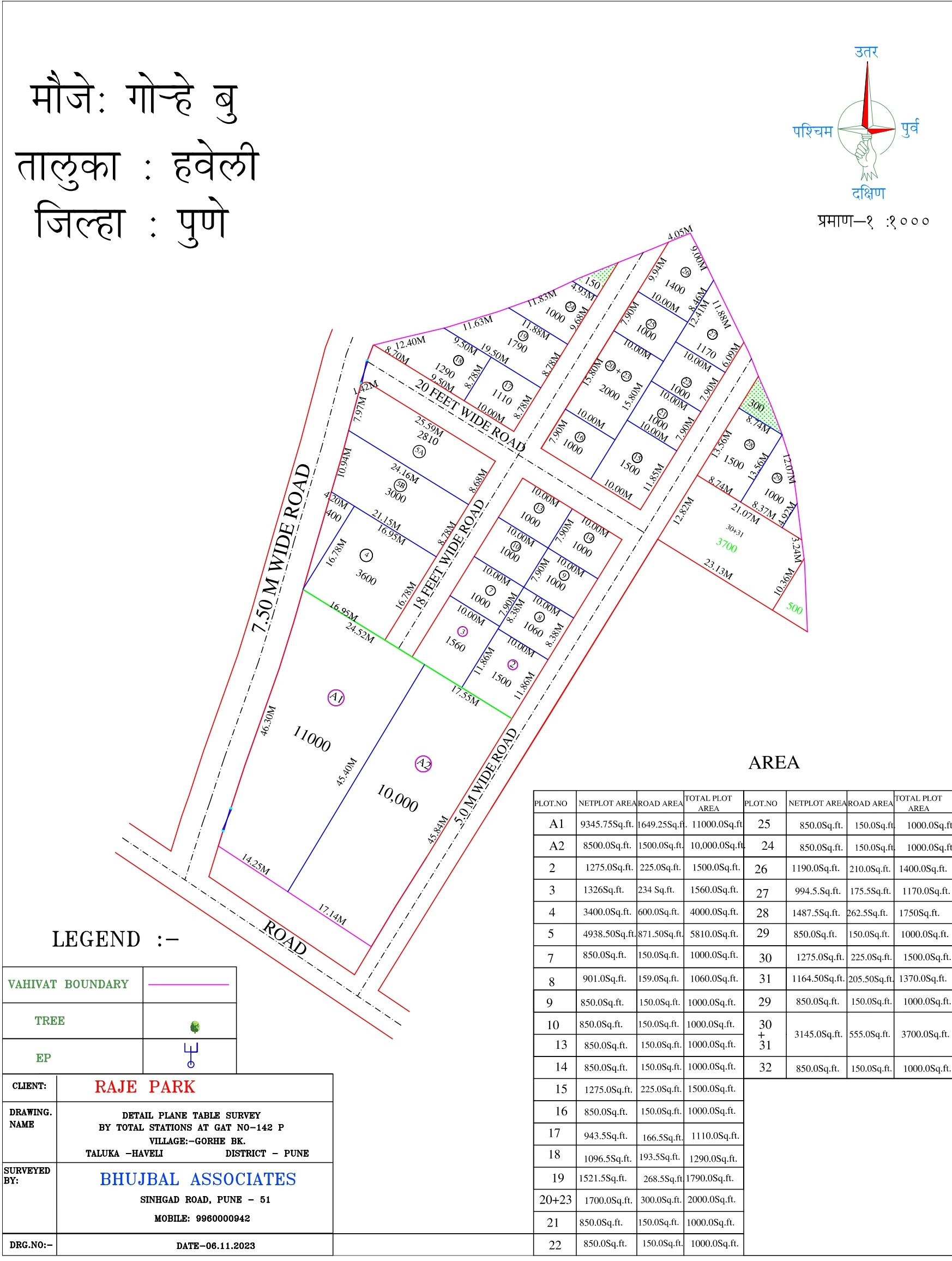
Learn More →As a Government-approved and registered surveying agency, our boundary demarcation services carry immense legal validity. We specialize in resolving complex land disputes, accurate plot sub-division, super-imposition of village maps (Gat/Survey numbers), and exact area calculations. Our digitally authenticated boundary reports are widely accepted by revenue departments and local municipal authorities.
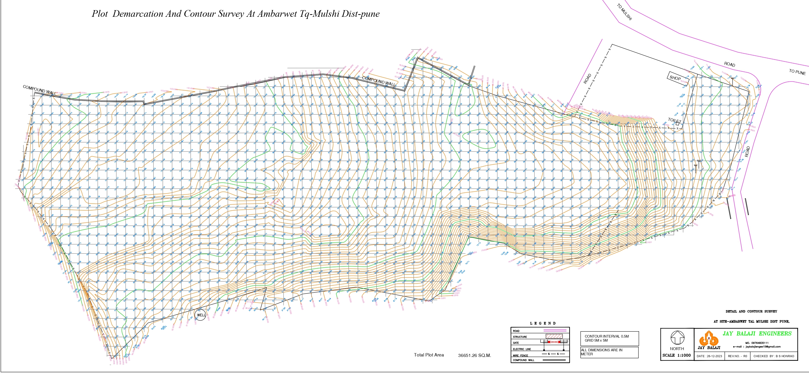
Learn More →We capture high-resolution, centimeter-accurate topographical data to generate highly detailed contour maps and 3D digital terrain models (DTM). This service is indispensable for architects, town planners, and civil engineers executing large-scale housing developments, industrial parks, or commercial layouts. Our deliverables include plotting of all existing natural and man-made features to facilitate flawless project planning.
Learn More →Sarate Surveyor delivers comprehensive geometric design surveys for national highways, state roads, and urban streets. Our deliverables include high-density L-sections, transverse cross-sections, camber analysis, and precise earthwork (cut and fill) volume calculations. We ensure that your road alignment meets all IRC (Indian Roads Congress) standards for gradients, curves, and drainage.
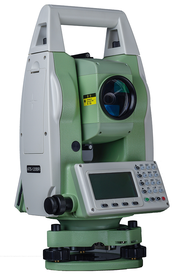
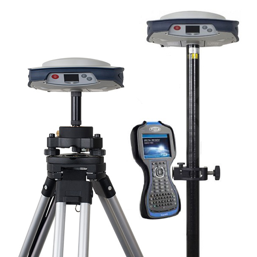
Learn More →Leveraging state-of-the-art satellite-based Real-Time Kinematic (RTK) DGPS receivers and robotic Total Stations, we establish highly accurate primary and secondary control points. This millimeter-level precision is deployed for complex structural alignments, construction staking of high-rise building grids, monitoring structural deformation, and geo-referencing massive infrastructure sites with global coordinate systems.
Learn More →With over 28 years of continuous, hands-on field experience, we have successfully navigated and solved the most complex geospatial and surveying challenges. From dense urban jungles to rugged mountainous terrains, our deep-rooted expertise ensures flawless execution regardless of geographical constraints.
We operate with absolute transparency and legal validity. As an officially recognized, Udyam Registered Micro-Enterprise and a Government-approved surveying agency, our stamped technical reports, area calculations, and boundary demarcations are highly respected and fully admissible in civic and revenue departments.
We refuse to compromise on accuracy. Our in-house technological arsenal includes the latest generation of Dual-Frequency RTK DGPS systems, highly calibrated Robotic Total Stations, and advanced UAV drones for aerial photogrammetry, ensuring centimeter-level precision in every reading.
We understand that engineering projects run on tight schedules. Our highly optimized internal workflows ensure a seamless transition from on-site data collection to in-office drafting. We consistently deliver finalized AutoCAD drawings, GIS maps, and technical reports well ahead of critical project deadlines.
Our track record speaks for itself. We are officially empanelled and repeatedly trusted by India's largest public sector energy giantsβincluding HPCL, IOCL, BPCL, and MNGL. Handling their multi-crore, high-risk pipeline routing projects is a testament to our unwavering reliability and strict adherence to safety protocols.
We don't just hand over raw data; we provide comprehensive, end-to-end solutions. From initial reconnaissance surveys to the submission of finalized, legally binding CAD drawings and detailed technical reports, we handle the entire documentation lifecycle so you can focus entirely on project execution.


"Sarate Surveyor provided exceptional accuracy for our gas pipeline route. Their data integration with our HPCL contractor standards was flawless. Highly recommended for critical infrastructure."
Project Manager, HPCL Contractor
"We hire them for all our land demarcations. The quality of boundary mapping and legal compliance documentation is unmatched in Pune. True professionals."
Civil Contractor, Pune
"The topographic contour surveys we received were incredibly detailed. The CAD outputs were ready to use for our architectural planning without any rework required."
Architect, Pune
"We rely on Sarate Surveyor for MNGL pipeline route alignments. Their advanced DGPS surveying is highly precise and delivered strictly on schedule. An invaluable partner for city gas distribution."
Operations Head, Pipeline Logistics
"Excellent topographic and contour mapping services. Their detailed CAD drawings allowed us to flawlessly execute a large-scale housing project with zero boundary discrepancies."
Lead Engineer, Prime Developers
"They handled our property boundary demarcation with extreme professionalism. Being a government-approved agency, their reports hold immense legal validity. I highly recommend them."
Private Land Owner
Robotic precision mapping
Satellite RTK positioning
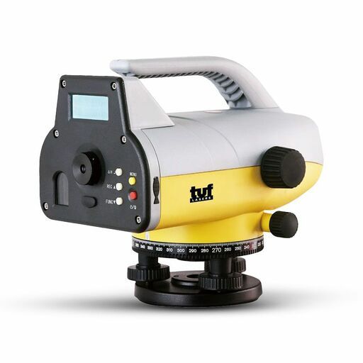
Exact elevation control
Large scale aerial topography
883, Kondhwe Dhawade, Khadakmaal,
Pune, Maharashtra
411023
Thank you for reaching out. Our surveying team will contact you shortly.
We specialize in Gas Pipeline, Water Pipeline, Boundary Demarcation, Topographic contour mapping, Road surveys, and high-precision DGPS & Total Station control establishment.
Yes, while our head office is located in Pune, Maharashtra, we have the capability and team strength to handle surveying projects anywhere across India.
Absolutely. We are a Government Approved agency, Udyam Registered Micro-Enterprise, and hold valid surveyor licenses. Our deliverables are fully compliant with legal authorities.
The timeline depends on the project scope and terrain. A basic boundary survey takes 1-2 days, while large pipeline or topographic projects can span weeks. Contact us for a specific estimate.
We provide physical stamped drawings, detailed AutoCAD (DWG) files, PDF reports, coordinate lists (CSV/Excel), and 3D terrain models if requested.
Yes, we offer free initial consultations and site feasibility discussions. Get in touch with our team to evaluate your project needs and receive a no-obligation quote.